make preferable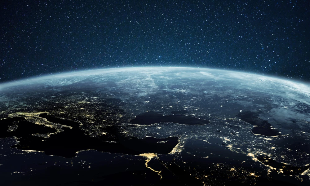
Artificial intelligence could become a new tool for monitoring natural hazards in Armenia — from earthquakes and landslides to volcanic activity. This primarily concerns the processing of large volumes of data, their integration, and the continuous updating of natural risk maps.
According to Khachatur Meliksetyan, Doctor of Geological and Mineralogical Sciences and Director of the Institute of Geological Sciences of the National Academy of Sciences of Armenia, AI and machine learning technologies are already being used in a number of areas of geological research, and their application may be expanded further in the future.
AI can continuously update hazard maps
One of the promising areas is the automated updating of natural hazard maps based on new data.
Armenia’s existing seismic hazard map was prepared on the basis of a large-scale body of research and was officially approved in 2021. However, scientific data continue to accumulate, so hazard assessments need to be updated over time.
According to Meliksetyan, artificial intelligence can be used to continuously update such systems, taking into account new research findings and incoming instrumental data.
This applies not only to seismic hazards. A separate area is the use of satellite and other remote sensing data to study landslides and update landslide hazard maps.
Instead of periodically creating a new map after a significant volume of research has accumulated, it is potentially possible to build a system that will regularly incorporate new data and refine the existing assessment.
Satellites + ground stations
Another area is the integration of data from different sources. Meliksetyan noted the possibility of combining information from seismological stations with satellite observations. This approach is especially important for monitoring active volcanoes, as it makes it possible to track changes recorded both on the Earth’s surface and from space at the same time.
There are already systems in the world that use artificial intelligence for continuous monitoring of volcanic activity based on satellite data.
One example is automated monitoring of active volcanoes using infrared satellite imagery. Such systems operate virtually in real time, detect signs of activity, and generate corresponding maps.
AI is already being used to warn aviation about volcanic ash
One of the most advanced areas for applying such technologies is volcanic ash advisory centers. There are nine specialized centers worldwide that continuously track the spread of volcanic ash in the atmosphere. This is directly relevant to aviation safety: an ash cloud can pose a serious threat to aircraft.
Several types of information are used to prepare warnings at once — volcanological, meteorological, and satellite data. Their integration makes it possible to model the movement of the ash cloud and transmit information to aviation services.
According to Meliksetyan, one of the most illustrative examples was the eruption of the Tonga volcano in January 2022. The eruption occurred in a remote part of the Pacific Ocean and was not directly observed by specialists. The main information came from automated systems, satellites, and other remote observation tools.
Based on these data, the spread of the volcanic ash cloud was modeled in real time. The calculations showed its movement toward Australia, after which the relevant warnings were sent to the aviation services of Australia and Indonesia. Flights were canceled for a certain period of time.
AI can help assess the probability of earthquakes and eruptions
Another area is predictive modeling. Meliksetyan noted that even if the precise prediction of a specific earthquake or eruption is impossible, analyzing a large volume of data makes it possible to better assess how frequently such events recur.
AI and machine learning can be used to process the data needed for such modeling and identify patterns that are difficult to analyze manually.
At the same time, this is specifically about improving probability and hazard assessment, not about a system capable of naming the exact time and place of a future earthquake in advance.
The next stage is integrating data into a unified system
According to Meliksetyan, in the future artificial intelligence technologies could be used in practically all areas of work related to the study of natural hazards.
For Armenia, he identifies among the most pressing tasks the continuous updating of seismic and landslide hazard maps, the use of satellite data, as well as the integration of information from seismological stations with remote sensing data.
This approach makes it possible to move from separate data sets to a comprehensive monitoring system in which information comes from different sources, is processed automatically, and is used for more timely assessment of natural risks.
At the same time, AI in this case acts not as a replacement for geologists and seismologists, but as a tool for data processing and synthesis that can make monitoring more continuous and responsive.