make preferable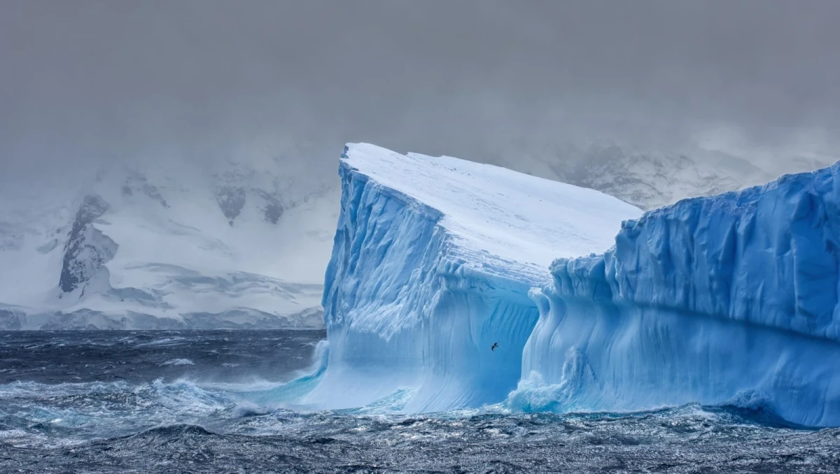
Greenland and Antarctica have lost about 12.5 trillion tons of ice since the 1970s. This conclusion was reached by an international team of scientists who assembled the longest satellite observation record to date of the condition of the polar ice sheets. Over this period, melting and accelerated ice flow contributed about 3 cm to global sea level rise.
The study was published in the journal Scientific Data and is based on data from 42 satellite studies and 27 space missions. For Greenland, scientists were able to reconstruct changes starting from 1972; for Antarctica, from 1979; and the latest point in the record dates to 2023.
Most of the ice loss is linked to glacier acceleration
Most of the losses occurred in Greenland. At the same time, researchers found that the disappearance of ice is happening not only because of surface melting.
About 84% of the lost ice was due to accelerated glacier movement, with glaciers discharging ice into the ocean more quickly. Surface melting accounted for only 16%.
According to study leader Inès Otosaka of Northumbria University, this shows that the long-term trend is primarily linked to the dynamic response of ice sheets to ocean warming.
Satellite observations make it possible to see not only the overall scale of the changes, but also how quickly they intensified. A particularly noticeable turning point began in the 1990s.
In Greenland, around 66 billion tons of ice were being lost each year in the 1980s. In the 2010s, that figure rose to about 291 billion tons per year.
In Antarctica, a similar pattern occurred over the same period: from roughly 53 billion tons of annual losses in the 1980s to 222 billion tons in the 2010s.
Ice loss is already affecting sea levels
Over the entire observation period, the disappearance of polar ice led to about a 3 cm rise in global sea level.
At first glance, this figure may seem small. However, even such a change increases the number of people exposed to the risk of coastal flooding and erosion. According to the researchers’ estimate, this means an additional 6–9 million people.
At the same time, current rates of ice loss do not mean the situation will necessarily remain the same in the future. As the ocean and atmosphere continue to warm, the ice sheets may keep losing mass, meaning their contribution to sea level rise will grow.
Half a century of observations reveals the long-term trend
The new IMBIE dataset (Ice Sheet Mass Balance Inter-comparison Exercise) combined the results of several decades of satellite observations. The increased length of the record, the number of participating scientific groups, and the volume of data allowed researchers to estimate uncertainties more accurately.
Unlike individual measurements, satellites make it possible to regularly observe almost the entirety of the vast ice sheets of Greenland and Antarctica. This makes it possible to compare changes from year to year and test climate models used to forecast future sea levels.
According to the researchers, continuing such observations is of fundamental importance. Spacecraft such as CryoSat-2 and the Sentinel series satellites make it possible to track changes in ice cover while also refining forecasts of how they will affect coastal areas in the coming decades.
The new study was supported by NASA and the European Space Agency. The authors emphasize that satellite data are becoming one of the key ways to directly measure the changes occurring in the polar ice sheets — from accelerating glacier flow to the scale of their mass loss.