
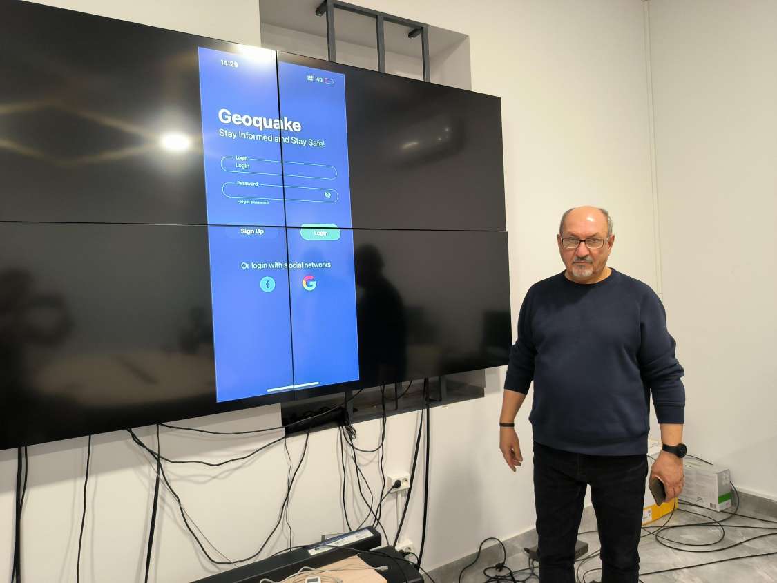
Mobile app is created based on new earthquake prediction method developed by Armenian scientist (photo)
A mobile application called Geoquake has been developed based on the new earthquake forecasting method by Dr. Samvel Akopian Director of the International Center for Global Monitoring and Forecast of Seismic Weather. The authors of the program hope that the new application, thanks to the scientifically based theory, will surpass the current similar applications in terms of accuracy and scope, gaining international recognition. NEWS.am Tech spoke with Samvel Akopian, about the scientifically based theory of earthquake prediction, the first Armenian application, its application, etc.
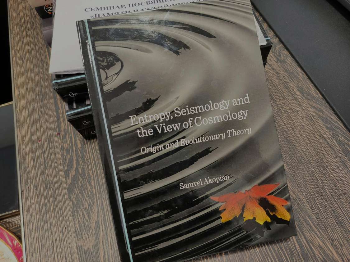
Back in 1985, in his article, Akopian had predicted the strong earthquake expected in Armenia in the coming years, particularly on the Armenian-Turkish border. Later, the seismologist's prediction coincided with the catastrophic earthquake in Spitak, which killed 25,000 people. After the 1988 earthquake, Akopian began to delve deeper into the problems of earthquake prediction and seismic risk assessment. He headed the Garni Geophysical Observatory for many years (1980-1987), from 1991-2001 he was the head of the Department of Mathematical Modeling of Seismic Risk at the National Seismic Protection Service, and until 2023 worked as a chief researcher at the Laboratory of Earthquake Prediction Methods at the Moscow Institute of Physics of the Earth. Samvel Akopian is the author of more than 90 publications related to seismic risk assessment, earthquake forecasting, induced seismicity, entropic seismology, cosmology and other fields. In 2023, he authored a book titled Entropy, Seismology and the View of Cosmology: Origin and Evolutionary Theory, which is related to the modern problems of entropic seismology, geophysics and cosmology (Cambridge Scholars Publishing).
Mr. Akopian, please explain what the new theory you developed is, what is its application in seismology?
The basis of the new theory is the Seismic Entropy Method (SEM), based on the new physical parameters introduced by me in seismology and the concept of the seismic system, within which a new law has been discovered in seismology: the law of seismic entropy production. It allows you to visualize the entire process of preparing for strong earthquakes, follow the development of seismic instability in time and space, and make dynamic maps of seismic risk.
The new parameters are calculated based on earthquake data recorded by global seismological networks. This approach makes it possible to create a theory of entropic seismology, which can be applied for the purposes of solving the problem of earthquake prediction, building dynamic maps of seismic hazard, controlling the occurrence of unwanted seismic resistance due to man-made factors.
What are the current earthquake forecasting methods, how effective are they?
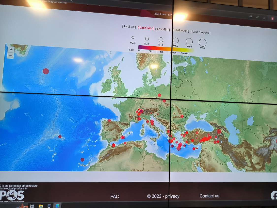
There are natural signs for predicting earthquakes, such as anomalous changes in groundwater levels, the geomagnetic field, radon gas, etc. In the developed countries of the world, especially in seismically active zones, seismological networks have been created, thanks to which the changes occurring in the earth's crust are recorded. However, those networks created decades ago, which have accumulated tens of years of information, do not solve the problem of forecasting. In traditional ways, it was only possible to track the threat where there were networks. However, experience shows that it is not possible to solve the problem of earthquake forecasting only by observing the surface of the earth. In other words, the current traditional methods of earthquake prediction are ineffective and costly.
What is your proposed method of earthquake prediction, how does it work?
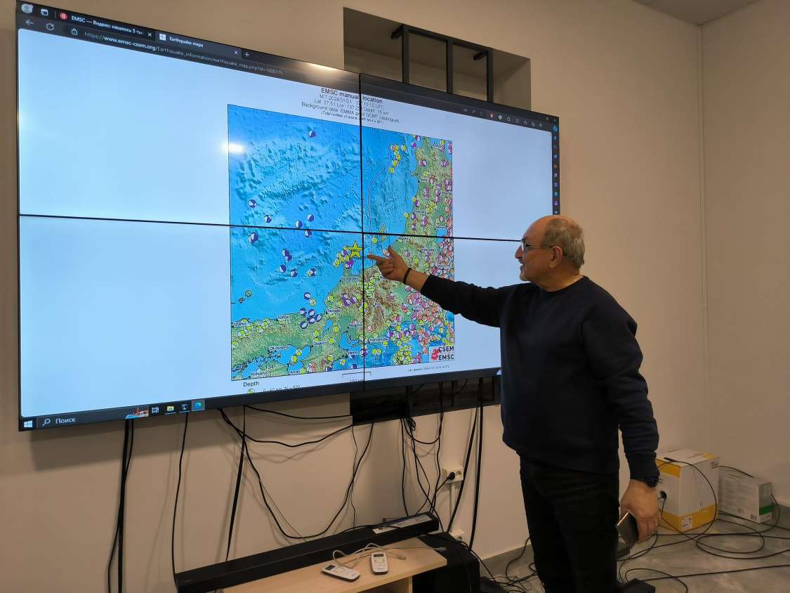
The method we created is based on the law of seismic entropy and the information of earthquakes recorded in the world. Based on a database of recorded earthquakes dating back to 1900, we have developed algorithms to create a computer program for monitoring and predicting strong earthquakes. Today, more than 450 seismic systems (which cover the territories of more than 80 countries of the world) have been identified, in which our technology is applied. Through the monitoring of seismic systems, we can tell what the seismic situation is like, what might be the risk of an earthquake, etc. The system we have created is similar to GPS, with the help of which it is possible to track where the danger is located in the seismic system at the moment and how it moves.
What are the current earthquake forecasting methods, how effective are they?
There are natural signs for predicting earthquakes, such as anomalous changes in groundwater levels, the geomagnetic field, radon gas, etc. In the developed countries of the world, especially in seismically active zones, seismological networks have been created, thanks to which the changes occurring in the earth's crust are recorded. However, those networks created decades ago, which have accumulated tens of years of information, do not solve the problem of forecasting. In traditional ways, it was only possible to track the threat where there were networks. However, experience shows that it is not possible to solve the problem of earthquake forecasting only by observing the surface of the earth. In other words, the current traditional methods of earthquake prediction are ineffective and costly.
What is your proposed method of earthquake prediction, how does it work?
The method we created is based on the law of seismic entropy and the information of earthquakes recorded in the world. Based on a database of recorded earthquakes dating back to 1900, we have developed algorithms to create a computer program for monitoring and predicting strong earthquakes. Today, more than 450 seismic systems (which cover the territories of more than 80 countries of the world) have been identified, in which our technology is applied. Through the monitoring of seismic systems, we can tell what the seismic situation is like, what might be the risk of an earthquake, etc. The system we have created is similar to GPS, with the help of which it is possible to track where the danger is located in the seismic system at the moment and how it moves.
Apart from the YouTube channel, how are you going to inform the public about the possible impending earthquake?
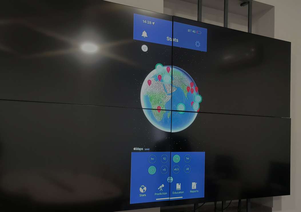
The problem is not only to inform the public, but how to react and apply practical steps in reducing possible seismic risks. It is an issue of great complexity and responsibility, in relation to which there are still no developed international uniform norms. If, for example, we find out that a strong earthquake is expected in Japan and inform the Japanese government about our prediction, this cannot be any basis for the Japanese government to make official decisions to take appropriate measures and warn people. In order to solve that problem, we decided to develop a mobile application that will enable a person living anywhere in the world to be informed about a strong earthquake expected in this or that place and to make a decision on how to protect themselves from it.
The application called Geoquake, which is the first in Armenia, was created with the support of the LLG Foundation. The purpose of the foundation is to promote the development and dissemination of new technologies around the world. Geoquake is technically ready, is currently in testing and will be launched soon.
Currently, there are dozens of mobile applications in the world, which, when connected to the local or international seismological network, perform an earthquake early warning function, informing users about the current disaster. How does the application you develop differ from existing earthquake prediction applications?
Currently, the majority of existing applications are purely informative in nature and do not contain a predictive component. In other words, by accessing the application, the user receives only information about earthquakes registered by seismological networks operating in the world. As for early warning systems, they are of a completely different nature, they are activated immediately after a strong earthquake, promptly (which covers tens of seconds), warning about the seismic danger in the given area. An important advantage of our application lies in the fact that the user, being in different places of the world, will have the opportunity to learn about strong earthquakes expected there and their consequences. As I have already mentioned, the forecasting of the application is based on a scientifically based new theory and is feasible for all stages of forecasting.
What will this application give to the world, especially to Armenia?
Armenia, being an earthquake-prone country, is not immune to strong earthquakes and, first of all, our population should be interested in the results of earthquake forecasts. In addition, the successful launch of the mobile application developed in Armenia will be a revolutionary step in the field of international seismology. Our goal is to make the new earthquake forecasting method recognizable and acceptable, especially by the UN Office for Disaster Risk Reduction (UNDRR).
Taguhi Melkonyan
- Most read
month
week
day
- People don't realize that AI will soon replace them en masse, which is a serious problem, says creator of ChatGPT 1166
- The Sun saw most powerful flare in last decade: Magnetic storms are expected on Earth on May 12-13 989
- 15 most beautiful bridges in the world (photos) 920
- Realme introduces GT Neo6 gaming smartphone with world's brightest screen 849
- Huawei Pura 70 Ultra: The new smartphone has the world's best camera? 832
- A really original game: In Bruce and Box you control a naked man with a box - and you will also need a box to play it 675
- What's wrong with iPad Pro’s new ad and why did Apple have to apologize for it? 665
- WhatsApp design has been radically updated 628
- iPhone will warn about nearby tracking devices: Apple releases iOS 17.5, which has several new features 626
- Is Apple developing a foldable iPhone? Evidence of this has been published 606
- Archive